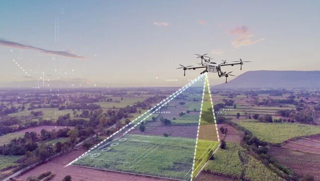
Digital surveying and flying use cutting-edge drone technology and GPS-based systems to capture high-accuracy land data for construction, infrastructure, and development projects. This modern approach provides detailed topographic mapping, 3D terrain models, and precise land measurements, ensuring efficient planning and execution.
Ideal for urban planning, real estate, agriculture, and industrial projects, aerial surveying enhances accuracy, speed, and cost-effectiveness, reducing manual effort while delivering high-resolution imaging and geospatial insights.
With advanced digital surveying solutions, projects benefit from better decision-making, risk reduction, and improved site analysis, setting new standards in precision and efficiency!